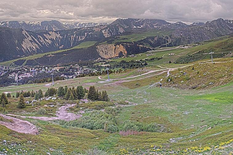
Not much has changed since last week, so keep doing those snow dances! We've had another week of dry and sunny weather thanks to a high pressure system over central Europe. It's been milder than last week, which is great for enjoying the mountain restaurants and sunny terraces, but not so great for the quality of the snow.
The high pressure system is moving and weakening, so we can expect slightly colder temperatures and some clouds rolling in. There's a chance of precipitation on Sunday, with the freezing level in Courchevel at around 2000 metres.
Skiing conditions on groomed slopes are good, and shaded pistes above 2400m have decent off-piste conditions. However, the sun and wind have created some hard and crusty surfaces, with icy conditions in the mornings. The avalanche risk is a moderate 2 throughout the Alps, and may go down to a rating of 1 as the snowpack diminishes.
It's hard to predict too far ahead, but there are promising signs of a high pressure system over the UK pushing cold air towards the Alps. This could bring some snow towards the end of next week, with current predictions showing a fairly reasonable amount of snow on Wednesday and Thursday evenings, and into Friday.
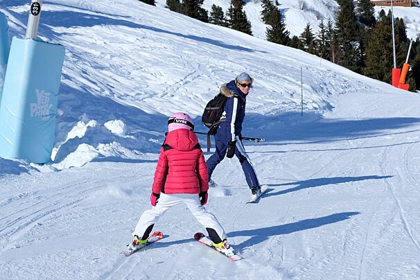
Great team Whitestorm photo above out on the pistes in Courchevel today.


![[itemref] lounge](https://cdm0lfbn.cloudimg.io/v7/_images_base_/image_uploader/photos/original/2103-1-eden-20_1_21030001_1000__wwatermark1363125858_1363125858.jpg?ua=1766709535&p=listing_summary_middle)