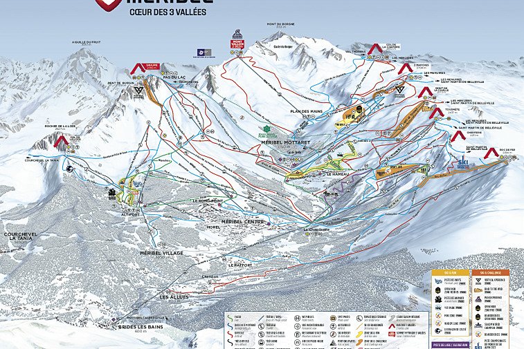
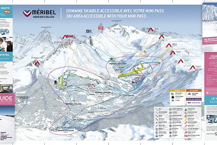
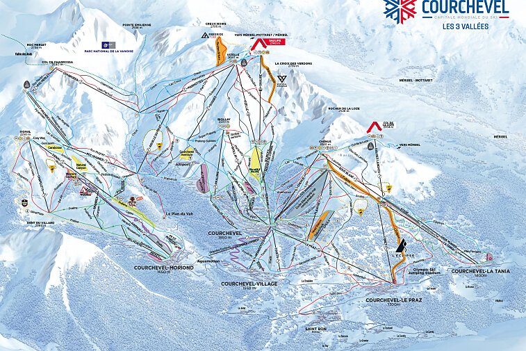
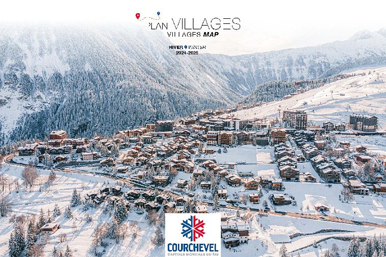
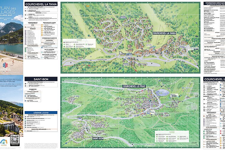
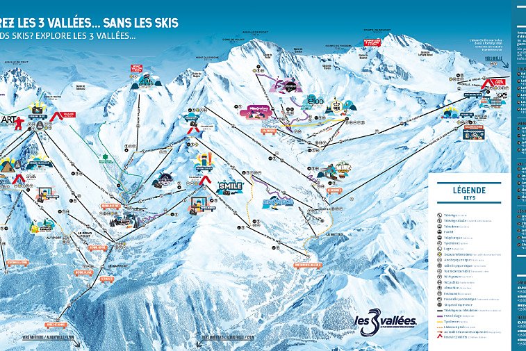
We hope this collection of street maps, activity area maps, and ski & piste maps for Courchevel will help you find your way around and make the most of this great region.
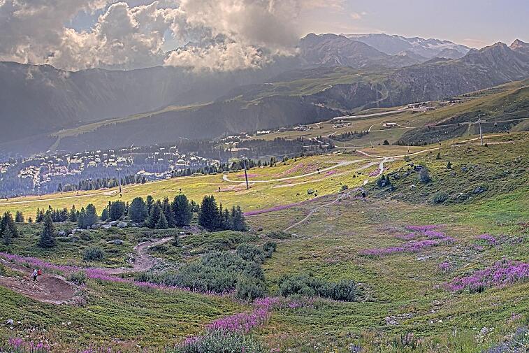
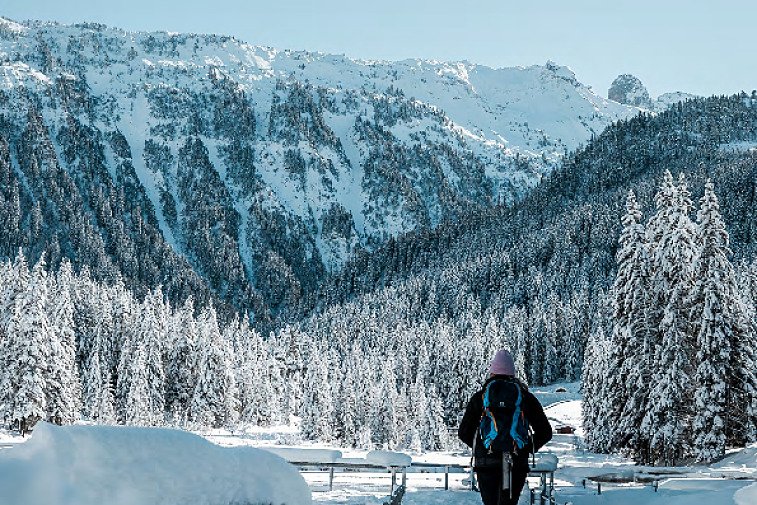
Courchevel is made up of three high altitude resorts (Courchevel, Courchevel Village & Courchevel Moriond) and two lower lying villages of Courchevel le Praz & La Tania. They are all linked by the lift system and by free public transport.
Highlights
Piste maps
Lifts marked on the piste map using straight black lines are of four types: button tow/drag lift, chairlift, télécabine and télephérique. They have the corresponding abbreviations:
- TK - téléski (drag lift)
- TS - télésiege (chairlift)
- TC - télécabine (gondola)
- TPH - téléphérique (cable car)
Anything prefixed/suffixed with “Express” means a six-person, fast chairlift.
Winter walking / trail maps
Cross-country skiing maps
Courchevel Cross Country Skiing Maps |
Courchevel & Méribel Cross Country Skiing Map |
Hiking & walking Maps
Courchevel Hiking & Walking Maps |
3 Valleys Walking Trail Map |
Belleville Valley Hiking & Walking Map |
Mountain bike trail maps
Courchevel Mountain Bike Trail Maps |
3 Valleys Mountain Bike Trail Map |
Belleville Valley Mountain Bike Trail Map |